
TAMOMS is a 3-part Joint Industry Project (JIP) including
a measurement program (Part A), wind and wave hindcasting
(Part B), and a current modeling program (Part C)
initiated by Statoil. Oceanweather was awarded Part
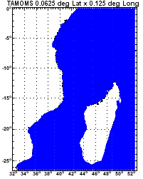
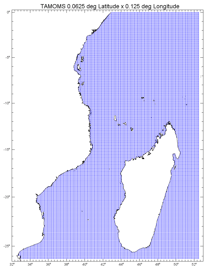
B. The hindcast is archived 3-hourly for the continuous
period 1987-2009 on a 0.0625 deg latitude x 0.125
deg longitude grid. It also includes meteorological
variables of air and sea temperature, humidity, and
sea level pressure from the NCEP's Climate Forecast
System Reanalysis (CFSR). Spectra are available at
a subset of locations.
The
basic methodology included adapting Oceanweather's
3rd generation wave model at high resolution along
the coastline of Tanzania and Mozambique that covered
the deep-water drilling interests of JIP participants
driven by boundary conditions from GROW and an intermediate
coarse grid encompassing the Southern Indian Ocean
from Antarctica to the equator and out to 90 E. Tropical
cyclones were overlaid into the wind fields with the
top 40 receiving intensive wind field reanalysis by
a meteorologist. Partial completion of Part A allowed
for verification of the wave model using two buoys
that were deployed specifically for the TAMOMS JIP.
